


Map of area explored
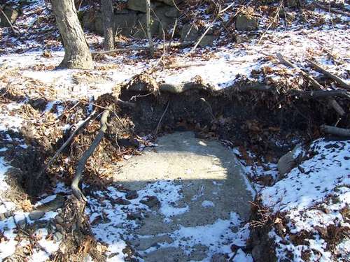
The red diamond indicates where we entered the railbed. The yellow diamond is where we found the water tower base.

This 1953 map shows this as the Honesdale Branch.

This map from
1966 doesn't show the branch at all except for the loop north of where
we explored. Note the map no longer shows the O&W railroad since it
went bankrupt in 1957.

This map from
1980 shows the branch, however since it has "X"'s in it, it indicates it
is abandoned. Perhaps there were plans to use it again at that time?

This map from
1990 also shows the branch line. Again it is "X"ed out. Later maps no
longer show it at all and the D&H line became the "Lackawanna County
Railroad Authority"
